Remember when you were a kid in a sandbox, and you could have endless fun with sticks and pebbles, building imaginary cities and towns, with houses, stores, roads and schools. You would make sure your city had everything people would want (including great rapid transit to zip people from the drawbridge to the castle), everything would be perfectly organized, and nothing would be too far away.
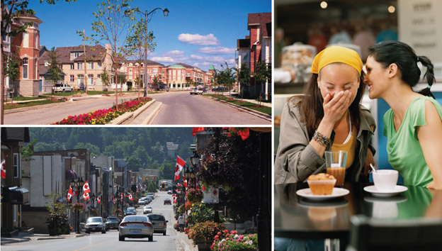
Believe it or not, there’s a grown-up version of that same activity, with the not-so-catchy title of Land Use Planning. Although you may never have heard this term, land use planning affects every aspect of life in your community today, and how you will be living your life in the future. And one of the most direct ways land use planning affects you, is through your municipality’s official plan.
Every municipality in Ontario must – by law – have an official plan, which has to correspond to plans already established by more senior levels of government. For example, York Region’s Official Plan has to fit within the overall Growth Plan for the Greater Golden Horseshoe, and York Region’s municipalities’ plans need to fit within the overall Regional plan.
Official plans are updated every few years, based on much discussion and public consultation. Just like the sand-box version, official plans identify which parts of town will be where people will work, which ones will be for housing, and which might accommodate both. Working with provincial rules, such as those set out in the Greenbelt Act and Places to Grow, official plans identify which parts of town will grow and which ones will be protected from growth. They identify the main roads, how much traffic those roads can carry before gridlock brings them to a stop, and where transit services will be needed to move people around.
(Hint – York Region’s current Official Plan, which I want to talk about more in my next blog, calls for a heavy expansion of rapid transit across the Region to help us cope with growth – which is why implementing our vivaNext plan is such a high priority for York Region).
Official plans also reflect the values and priorities shared by the community, such as a concern for the environment, or the need for a range of housing choices. An official plan reflects and shapes its community, and provides a road-map for how the community is going to grow – and respond to growth – into the future.
Of course, planning a real-life community is a huge responsibility that can affect the day-to-day lives of thousands or even millions of people. So getting it right is important, and takes a long time and a great deal of care; after all, unlike the sand version, redoing an official plan takes more than a sweep of a shovel. Hearing from the public is a critical part of developing an official plan – York Region’s current plan has a whopping 1,500 page appendix of submissions from the public!
So next time, let’s look at York Region’s December 2009 Official Plan, which highlights the importance of increased rapid transit for the York Region of the future. In the meantime, I’d love to hear from you: if you could go back to the sandbox, what would be in your perfect sand-city?
Links –
Ontario Ministry of Municipal Affairs and Housing Citizens’ Guides to Land-use Planning
Ontario Professional Planners Institute